
Aerial images help when a large roof cannot be understood from one ladder or hatch. The facility director still needs a useful route from image to work order. We confirm the building, roof boundaries, safe launch area, operating restrictions, and the question the survey must answer. Then we capture visible field conditions, drainage paths, equipment curbs, edges, and transitions. Images guide a closer inspection; conditions below the membrane and seam integrity still call for hands-on checks.
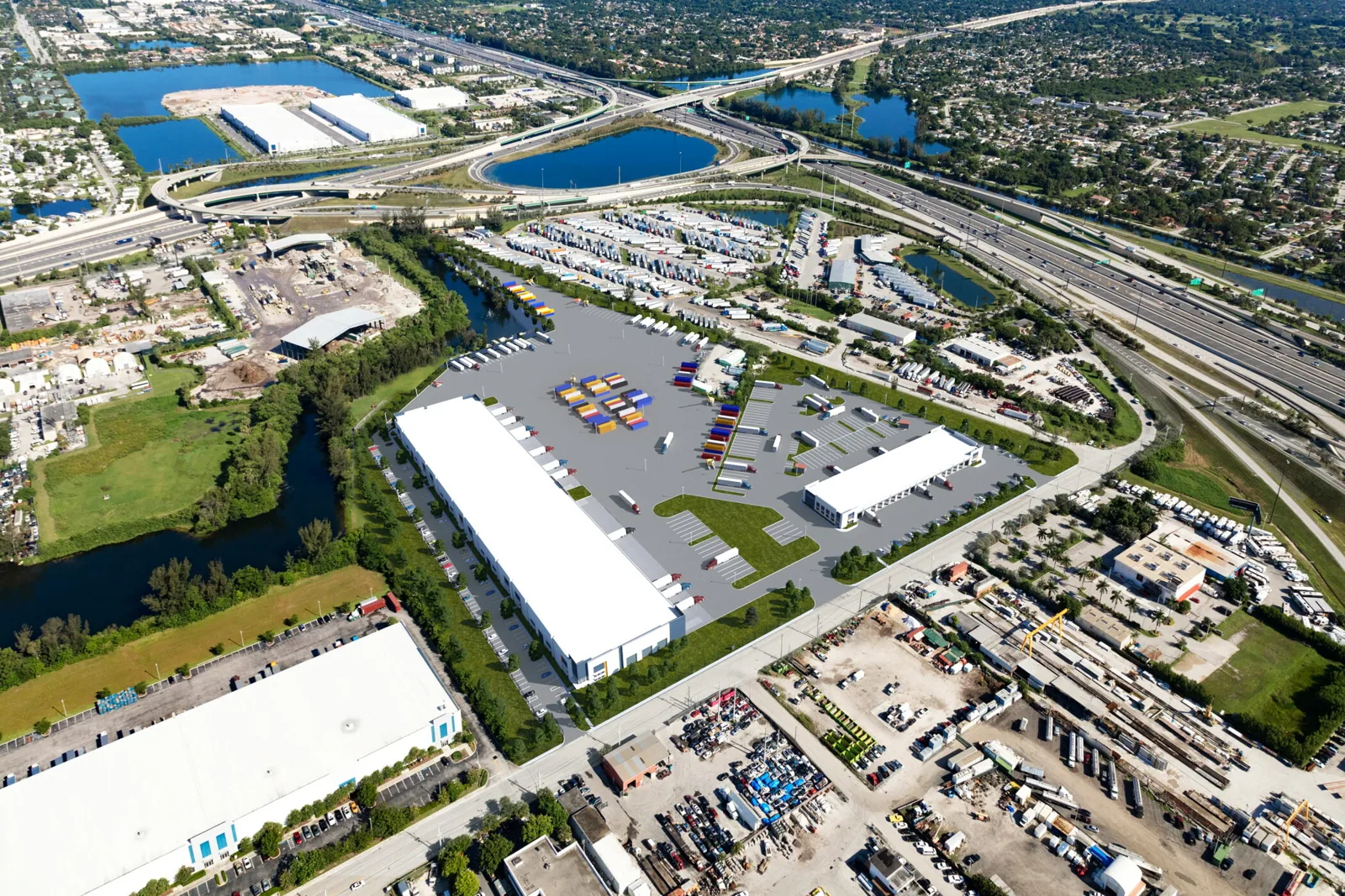
Rialto's current-project register lists proposed warehouse and industrial developments near Willow and Valley, Locust and Lowell, and Miro Way and Ayala Drive. For a roof under inspection, we start with that property's plan and access limits. Aerial capture can index sections and flag where the technician should walk. The warehouse roof record can then connect those images with access windows and operating zones. We use an on-roof inspection to check details that need touch, probing, or a closer view.
What should the images answer?
A useful survey begins with a specific request: locate visible debris, map roof sections, check whether drains are obstructed, compare exposed seams, or identify a safe path for a later inspection. We ask for the latest roof plan and mark the areas where the facility contact has noticed leaks. That gives the image set a reference point. Without a question, hundreds of images can show a roof without telling the owner what decision should follow.
We plan capture around wind, visibility, airspace, privacy, and the property schedule. The flight remains subject to applicable operating rules and site permissions. We do not treat an aerial view as permission to enter a restricted area or as a substitute for fall protection. For a facility near the Rialto portion of the Agua Mansa industrial corridor, the contact should confirm gate access, truck movement, and any restricted yard or roof zone before the survey window is set.
What can a drone show clearly?
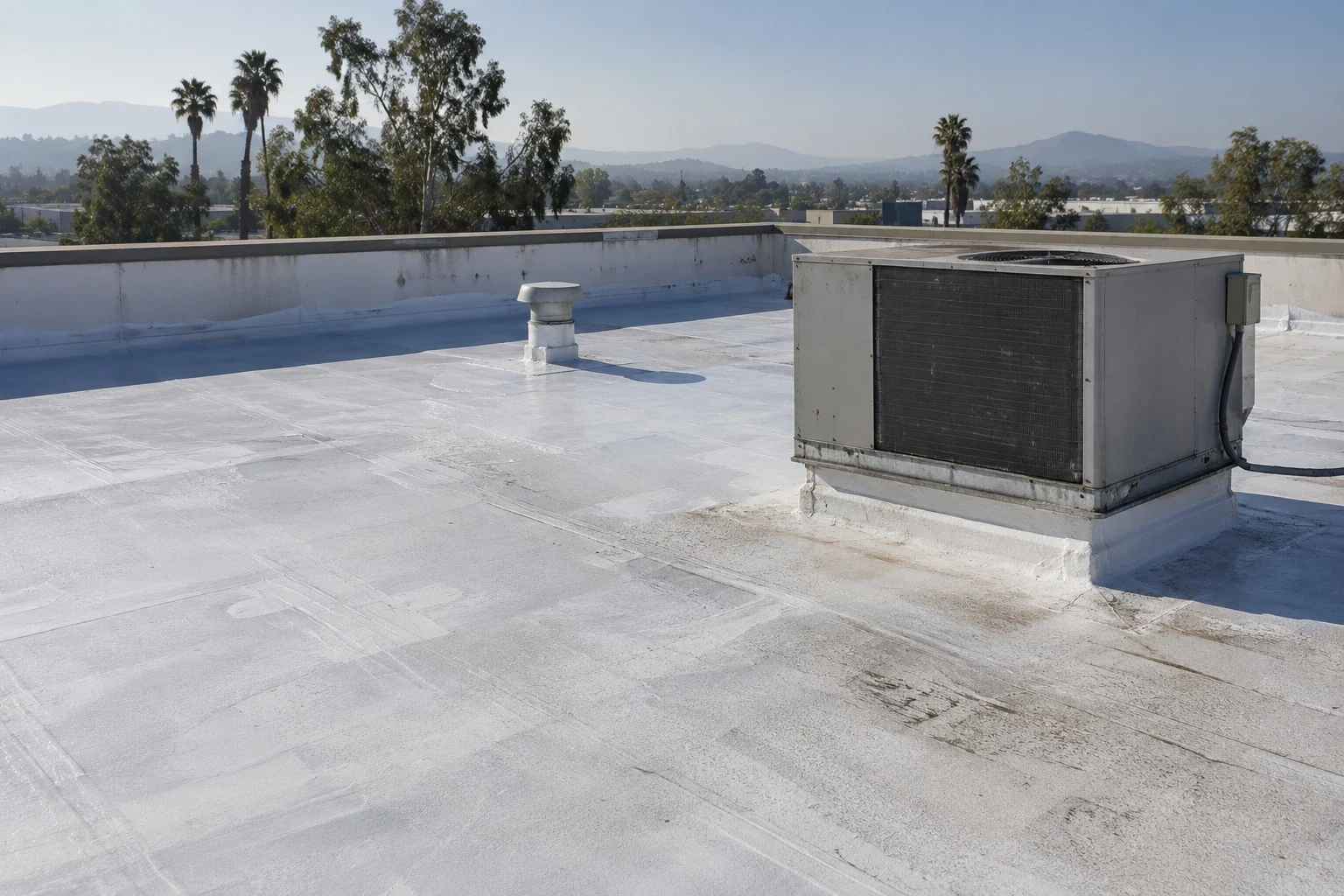
Images can show broad surface layout, visible ponding, displaced objects, weathering patterns, roof penetrations, equipment groups, and areas where access is difficult. A repeatable route can help compare the same roof zones after maintenance or a major repair. Image capture records the angle, overlap, and roof zone for each sequence; a later visit can repeat the route and compare the same details under similar views. We label each image by roof section and tie it to a plan or location note. The report should distinguish a visible condition from an interpretation. A shadow or color change may need a closer check before it becomes a repair item.
Rialto's climate plan names extreme heat as a City hazard and says hot days are regular. During capture, we compare visible patterns with the surface conditions and check suspect seams, curbs, or flashing on foot before writing a repair item. A heat-related roof review follows the membrane and detail condition, rather than relying on a color pattern alone.
When does a technician need to go up?
Hands-on verification is needed when a repair depends on seam attachment, membrane flexibility, flashing termination, fastener movement, moisture below the surface, or deck condition. The aerial view cannot press a probe, open a core, or confirm the connection at a drain. We use images to direct the inspection route and reduce time spent searching, then the technician records each condition found in person. The route may include a targeted core cut or a moisture survey if the decision turns on hidden layers.
For a leak report near Foothill Boulevard or Riverside Avenue, we compare the interior location with the roof plan and image index, then choose the hands-on check from the suspected roof detail. A moisture survey can help select areas for confirmation when conditions support it. A leak visit traces the entry path and documents the permanent work needed.

What belongs in the survey record?
The deliverable should identify the property, capture date, roof plan or section names, image index, visible observations, and recommended hands-on checks. It should state where views were blocked by equipment, trees, glare, or restricted access. We compare image angles and roof-section labels before drawing conclusions, since a shifted viewpoint can make the same curb or drain look different. We flag areas where the image does not resolve the condition instead of inferring membrane performance. Each flagged location gets a recommended next action: repeat the image from a safer angle, add a ground-level view, or send a technician to check the seam, drain, curb, or flashing. That keeps an unresolved view from becoming an assumed defect in the budget. The contact can approve that follow-up before a repair estimate is prepared. If the facility team needs a repair ticket, the report points to the exact image and roof zone so the next crew can find it.
Keep earlier inspection reports, roof drawings, leak locations, and repair tickets together with the image set. If the roof has several structures, assign each a distinct name before capture. This helps the owner distinguish a loading canopy from a main warehouse section and prevents an aerial image from becoming a generic property overview. Our condition report can combine field observations with selected imagery. For replacement planning, the roof register preserves each section's history and next action.
How do we prepare the site?
We ask who approves the flight, where a launch area can be used, which yards or roof zones are restricted, and when trucks or employees use the surrounding area. We also identify who can confirm roof-section names and current leak locations. A short access call keeps the survey clear of private spaces and areas the owner has not authorized. The property contact should identify the work window and any security procedure before the crew arrives.
Drone imagery is most useful when it feeds a decision. We can map a visible concern, return for hands-on confirmation, and write a repair scope or capital item from confirmed findings. Schedule a drone survey or roof inspection and provide the plan, leak locations, access rules, and operating hours. We will define the image route and explain what the survey can confirm. If the critical issue is a wet assembly, we will propose the right physical test rather than treating the aerial view as a moisture result.
Commercial Roofing Questions
Can drone images confirm a leak source?
They can narrow the search by showing visible drainage, openings, or surface conditions near a reported area. Water can move below the membrane, so a technician must trace the actual entry path. We pair the image index with the interior report and check the roof detail in person.
Will aerial imaging replace a hands-on inspection?
No. Images cannot test attachment, probe a seam, open a core, or confirm the deck condition. We use the survey to map sections and direct a technician toward visible concerns. The field record separates inspected items from locations that still need roof access.
What does the facility need to arrange?
Confirm property permission, launch area, access restrictions, roof plan, and on-site contact. Share truck or shift schedules and mark any areas that cannot be captured. We set the image route around those limits and follow applicable flight and safety rules.
Can we compare a new survey with older images?
Yes, when the earlier set uses identifiable roof sections and a repeatable route. We align the image index with the roof plan and note changes that are visible. Differences in angle, lighting, or access are recorded so they are not mistaken for roof movement.
Related Roofing Work

Choose the roof question before the flight
Schedule a drone survey or hands-on inspection. Share the roof plan, leak locations, property permissions, flight restrictions, and operating schedule so we can map a useful capture route.